Scroll
ABOUT
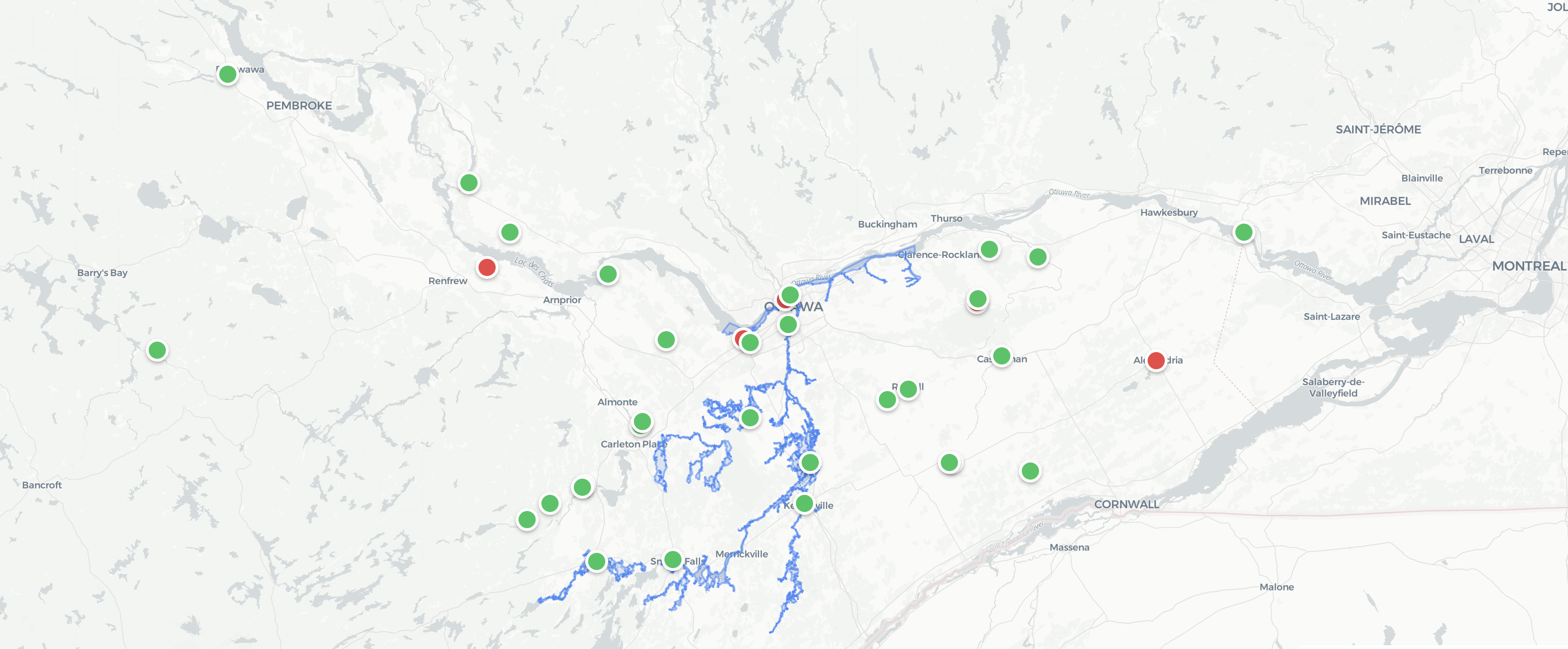
What is My Ottawa River?
My Ottawa River brings together real-time water level data from monitoring stations across the watershed — giving residents, communities, and emergency responders a clear picture of current conditions.
Monitoring Stations
Sensors across the full watershed reporting 24/7
Real-time Updates
Live data updated continuously as conditions change
Flood Layers
Historical and current flood risk maps at a glance
How It Works
From sensor to screen in real time
1
Stations Collect
Water level sensors across the watershed report conditions around the clock
2
Data Streams In
Our system aggregates data from federal and provincial sources
3
You See It Live
View current conditions on an interactive map — updated in real time
Resources
Stay prepared. Stay informed.
Government Agencies
Emergency Preparedness
- Flood safety tips
- Emergency contacts
- Evacuation information
Data Sources
- Where we get our data
- Open data licenses
- API information
Contact
- Report an issue
- Send feedback
- Media inquiries